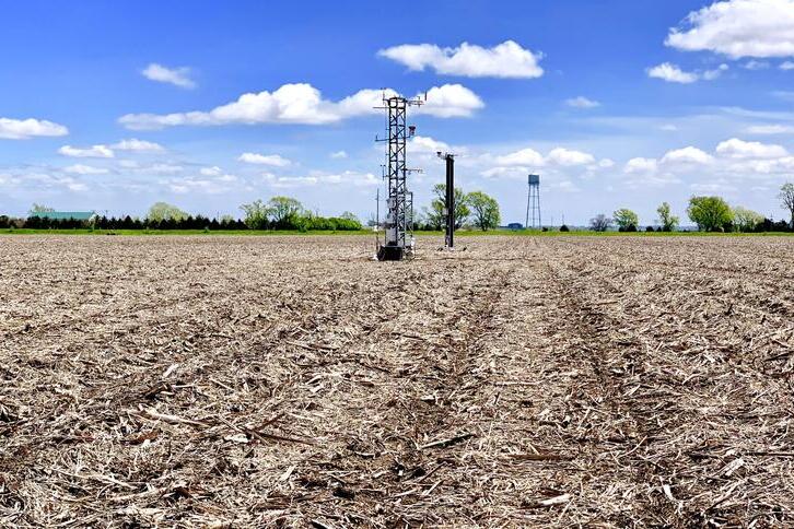
New soil moisture study opens door for future satellite remote sensing

A multi-institutional study led by scientists in the Agroecosystem Sustainability Center (ASC) at the University of Illinois Urbana-Champaign concluded that although soil moisture varies significantly both within a single field and from field to field due to varying soil properties and different management practices, soil moisture distribution relative to the field average remains consistent across time within each field.
Over three years, the team used sensor measurements and a high-density campaign to reveal that the drier areas remain the drier areas and the wetter areas remain the wetter areas. The study also deduced that reliable estimations of high-resolution soil moisture could be made by integrating optical and active microwave remote sensing and modeling, instead of relying on in-field measurements.
“Our ultimate goal was to improve our understanding of soil moisture variability,” said principal investigator Bin Peng, an ASC scientist and assistant professor in the Department of Crop Sciences, part of the College of Agricultural, Consumer and Environmental Sciences at Illinois. “We wanted to understand the controlling factors of those variabilities and how those variabilities can be reflected in satellite remote sensing data.”